Use the drop-down summary to access the articles in the folder.
Terms of republication
You can republish this article for free on your website, blog, etc.
Behind the scenes of research
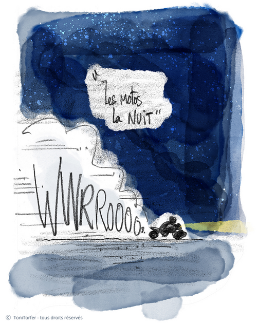
Major roads, air traffic, construction and industrial activity... In a context of greater urban density, we are increasingly exposed to noise. Noise pollution has real consequences for the health and well-being of city-dwellers. While noise regulation in cities is a major societal issue, scientific studies on this topic often do not include the subjectivity and perception of city residents. SonoRezé was born out of the aim to mitigate this problem, returning residents to the centre of efforts to analyse urban sound environments.
The project is based on a three-pronged approach, “Local Municipality - Residents - Researchers”, as a way of involving citizens in taking sound measurements of their cities. Multiple communication events were also held, starting with a public meeting to launch the project in December 2021, followed by discussion groups aimed at surveying the perception of residents.
NoiseCapture: an innovative and participatory application
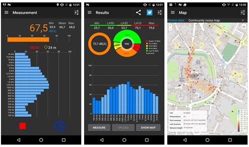
To create a sound map of their city, a special tool was offered to Rezé residents: NoiseCapture. This free, open-source application was developed by UMRAE in collaboration with CNRS. It collects data relating to noise, which is then correlated with the GPS location. Once gathered, this information can be used to create interactive maps. Five NoiseCapture evenings were organised for participants to discuss the study. These meetings were also an opportunity to plan recordings in areas with less coverage.
Initial results and experience-sharing
After the data was processed, a noise map was created showing the median noise levels at the city level. It presents an initial tableau of varying noise levels around the main and secondary roads, and will be further developed by new data gathered under SonoRezé II. Other maps were created using data from the first participatory measurement campaign, representing four main sources of noise: animals, rail traffic, air traffic and road traffic
Many participants state that this study has allowed them to become more aware of the importance of their sound environment, particularly by precisely distinguishing sources of unpleasant and pleasant noise. For Arnaud Can, researcher and co-leader of the project, the study has provided important scientific results and shows the potential of a “research-action” approach.


![[Translate to English:] Licence creative commons BY-SA 4.0 [Translate to English:] Licence creative commons BY-SA 4.0](https://reflexscience.univ-gustave-eiffel.fr/fileadmin/ReflexScience/Accueil/Logos/CCbySA.png)